Customs Service launched its infrastructure map
The State Customs Service of Ukraine with the support of EU4PFM, developed a map of Customs Service infrastructure that shows the current status of checkpoints, with detailed information on each of them:
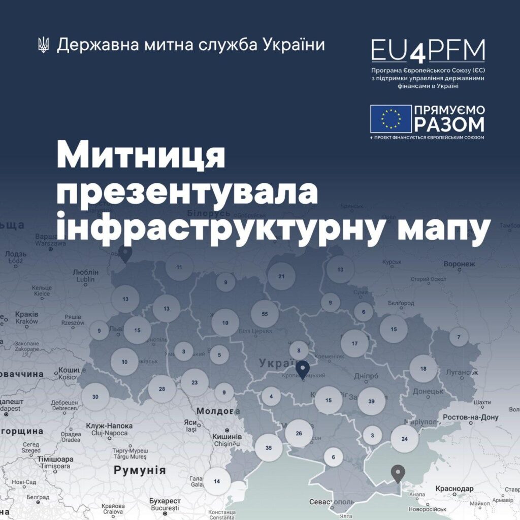
The map contains detailed information on 4 types of locations: checkpoints, internal places of customs clearance, places of international postal exchange and sorting stations.
With the help of filters one can easily find places of customs clearance in the region of interest, but also find information about their
• functioning
• working hours
• type of transport (freight / passenger / passenger- and- freight)
• available equipment (stationary or mobile scanning systems, X-ray scanners for scanning goods, stationary scales, vehicle license plate reading system, video surveillance system, etc.)
• services (for example, close proximity of bank branch or service center of the Ministry of Internal Affairs)
• types of communication (road, rail, sea, pedestrian, air, etc.)
• existing infrastructure facilities (customs warehouses, duty-free shops, enterprises operating at the checkpoint, etc.)